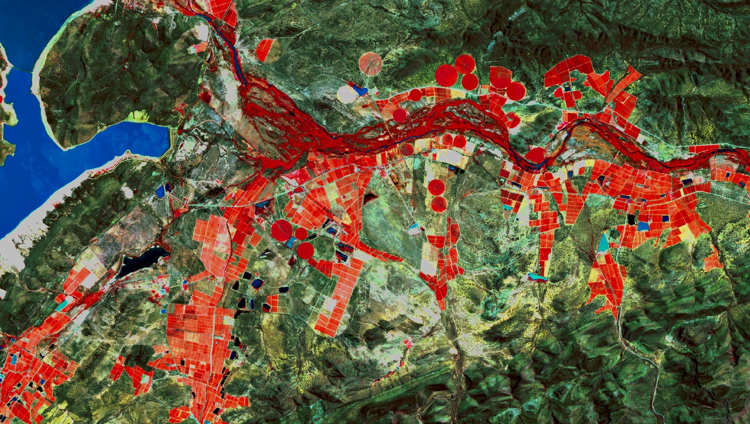
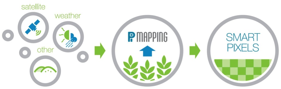
PiMapping® delivers quantified information on crop growth and water use for every pixel on the earth surface, no indices but real numbers. The core of our output metrics include kilograms of crop produced and litres of water consumed in the process. For every day, week or month. PiMapping® data is scalable and can be delivered per individual field or for an entire continent. The technology combines satellite imagery with meteorological and geographical data to create a range of data components per pixel. Smart pixels, the basis of our products.