
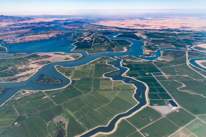


BasinMeter – Unbiased methodology for measuring NPWI water indicators
eLEAF and partner 52impact are overcoming the challenge of obtaining accurate and relevant water-risk related data with ‘BasinMeter’. The project combines scalable Earth observation technology
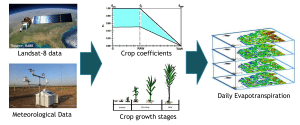
A new approach to estimate daily evapotranspiration, based on Landsat data and FAO56 principles
We are thrilled to share with you a brand new publication, co-authored by our colleague, Abdur Rahim Safi: A new approach to estimate daily evapotranspiration,
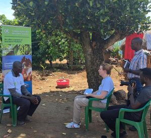
Empowering Ugandan Farmers: Innovating Insurance for Resilience
From May 8th to May 12th, we had the privilege of visiting Uganda to witness the impactful project, Index Insurance in Uganda, a real business