A central aspect in crop insurance is the assessment of actual crop damage. Farmers might claim more damage than they have suffered or report damage caused by an uninsured hazard. Insurance companies rely on loss assessment experts validate claims. They determine the cause, extent and financial impact of crop damage through field visits. Expert loss assessment in the field is a costly operation for insurer. Optimizing operational efficiency for loss assessment can lead to significant cost reduction.
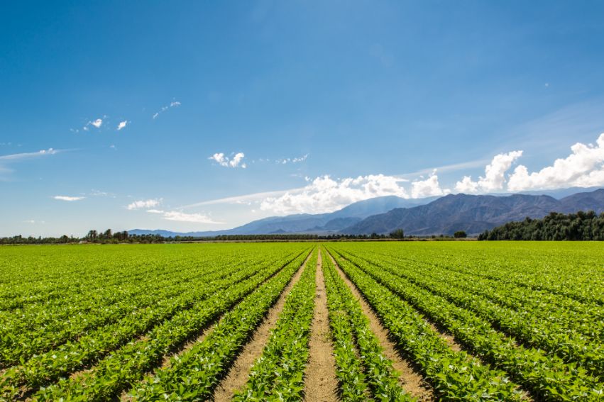
Satellite data offer the possibility to verify whether a farmer has been affected by an insured risk and to investigate suspicious claims without field visits.
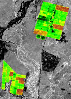
Remotely sensed data can potentially be used to detect damage on vegetation and crops by drought, water logging, hail, frost and pests and diseases. Our PiMapping® technology can produce actual biomass production before and after an event, even after the damage has been done. On top of that, the timing of crop damage can be determined as well as the impact ultimately on total crop production. This kind of analysis can support claim settlement, improving the accuracy of payouts.