Sugarcane Solutions
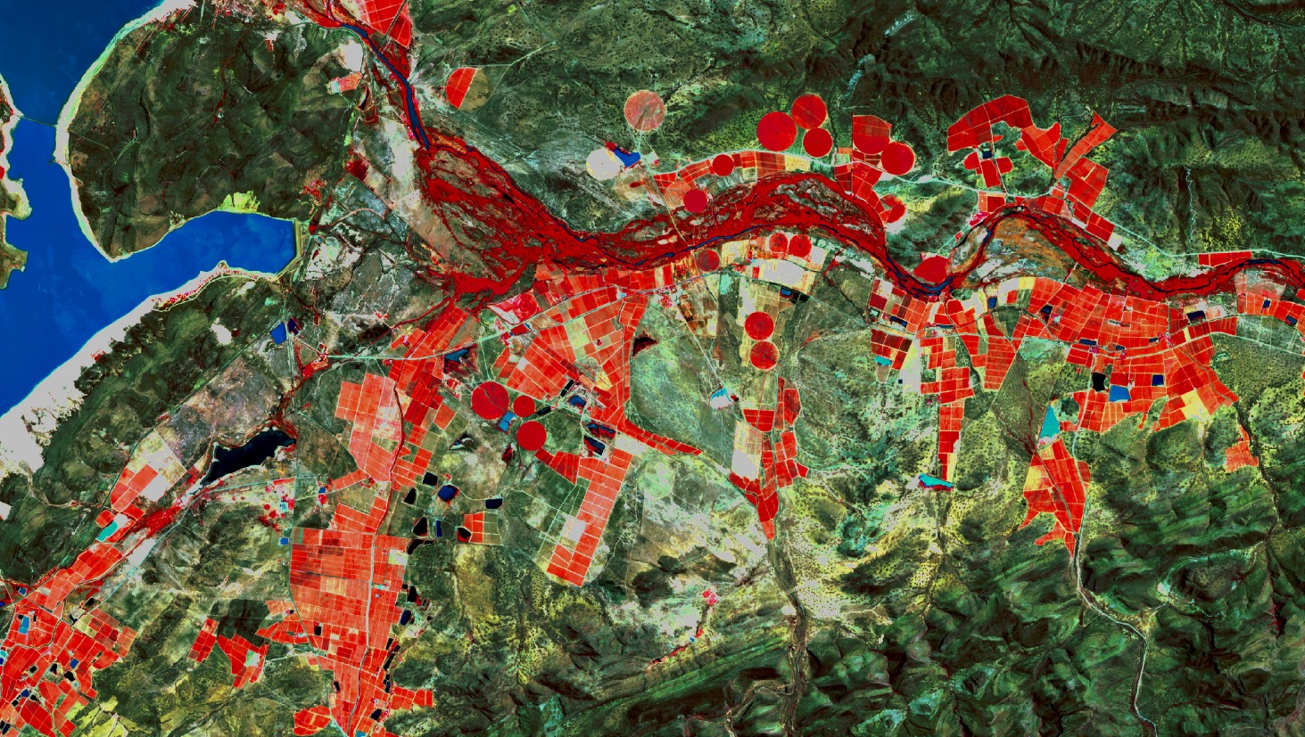
PiMapping® delivers quantified information on crop growth and water use for every pixel on the earth surface, no indices but real numbers.
Sugarcane solutions
Sugarcane is one of eLEAF’s focus crops. Our team balances state of the art remote sensing expertise with a solid understanding of sugarcane production cycles, mill logistics and sugarcane marketing operations. We have developed a range of sugarcane specific products to optimise production. These can be viewed in your own management system, no need to switch software. Our products are compatible with CanePro or you can use eLEAF’s web based FieldLook platform.
Cohort tracking
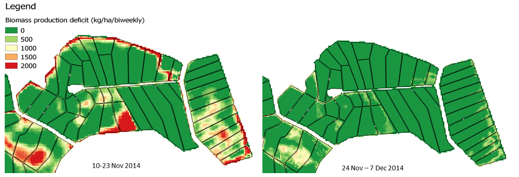
Our cohort tracking application isolates and tracks a single harvest cohort. This allows you to monitor relative performance within the cohort and target activities to support consistent cohort production. The cohort could be further filtered to focus on fields by ratoon, soil type or variety for further analysis. This can be done throughout the growing cycle so that the status of the cohort is known for all planning activities for the next harvest.
Standing cane mapping
Our Standing Cane Mapping (SCM) application quantifies the current volumes of standing sugarcane on the field. In kg/ha. As SCM is based on both optical and radar satellite imagery, the service is available in regions with frequent cloud cover. This enables consistent tracking of fields without data interruption throughout the long harvest period. SCM is provided for large areas of dryland cane at once on a monthly basis.
Sugarcane yield forecast service
Matching mill processing capacity with harvesting quantities is a constant balancing act. This sugarcane yield forecast application projects harvestable sugarcane volumes on a particular date in the future. Mills will know what to expect. It will support you to optimise transport operations and factory efficiency to minimise the time between field and factory. Minimum cut to crush time and maximum sugar.
eLEAF provides satellite based application to various companies
eLEAF provides satellite based applications and data to optimise crop production and water management. Proven by our track record of over 20 years, it doesn’t matter whether you are managing a multinational agro-holding or developing complex water management policies, our state-of-the-art products will provide an extra dimension and support you to optimise your outputs.
